
Springfield Neighbors Block Sources
Block research in Springfield starts with property, not a roster. The county Auditor can return a parcel, owner, or address lead. The Recorder can connect a party to a deed, mortgage, plat, or other recorded instrument. Tax Map and zoning resources help place the parcel in its lot, road, and subdivision setting. Each source answers a bounded question about the block. It does not identify every person who may be living at an address.
| Source | What It Shows About a Block | Access |
|---|---|---|
| Auditor parcels | Property-by-property parcel, owner, and address leads. | Clark County Auditor Property Search by address, parcel, or owner. |
| Recorder instruments | Recorded deed, mortgage, plat, party, and legal-description context for an adjoining parcel. | Clark County Recorder Official Record Search; online start year is not verified. |
| Tax Map and zoning GIS | Lot lines, plats, roads, surveys, zoning, and historical map context. | Tax Map staff or the City's zoning GIS; live adjacency controls were not verified. |
| Voter records | Named registration information where law permits public inspection. | Ohio individual lookup or a Clark County Board of Elections inspection request. |
| Community organizations | Opt-in civic contact paths and neighborhood information. | City resources and Neighborhood Services, not a member roster. |
| Historic directories | Address-listed householders in selected editions. | Clark County Public Library and Heritage Center, with date-specific coverage. |
For Springfield neighbors, an owner field and owner mailing address are not proof of who occupies the property. A renter, family member, visitor, or protected resident may not appear in any land record. Keep the result framed as a parcel or recorded-party lead, then confirm the relevant fact through its custodian.
Map Springfield Neighbor Parcels
The documented path runs from one verified address to adjoining parcel facts. The county's public research pages confirm address and map context, but did not expose a live one-click adjoining-parcel, buffer, or radius control. Identify adjoining parcels from the map context or with Tax Map staff instead of promising a button that has not been verified. Repeat the same chain one parcel at a time.
- Enter the known address in the Auditor search and save the returned parcel number, legal description, and current owner field.
- Use the parcel map, a plat, or Tax Map assistance to identify the adjoining parcels around that address.
- Run each adjacent parcel through the Auditor and note only its parcel facts, owner lead, and legal description.
- Use Recorder party, document, or book and page fields to check the recorded instrument context for a particular parcel.
- Compare legal descriptions and dates before treating two similar names as the same person or property trail.
The Recorder's advanced index supplies a conservative recorded-instrument inventory for a neighboring parcel:
- Party names, including separate grantor and grantee roles.
- Recorded and executed date ranges.
- Document type, department, and document number.
- Book, volume, page, and full-document OCR phrase fields.
The next step can expand into a whole named-street history, but that broader task belongs with the Springfield Street Directory. The immediate Springfield neighbors method stays focused on the few parcels around one address.
Note: A parcel number and legal description remain steadier than a street label when a plat, road, or address pattern changes.
Springfield Tax Map Boundaries
Clark County Tax Map is the offline bridge between a modern map view and the legal geography behind it. Staff review deed transfers, surveys, legal descriptions, annexations, condominium plats, and subdivision plats. The office maintains old road records, historical surveys, and tax maps archived from 1880 through 2002. It is the right route when a parcel boundary, old road, or former address needs more than a visual map check.
Public GIS is useful for orientation, not for a legal boundary conclusion. County meeting material from March 2026 says parcel lines are approximate while GIS is updated, even as City and County agreements support shared GIS layers through 2030. Verify a boundary with Tax Map, a survey, or recorded plats. A map line cannot prove where a legal property line falls on the ground.
The Clark County Recorder Property Alert page is an official recorded-property resource that belongs on the document side of a Springfield block check.
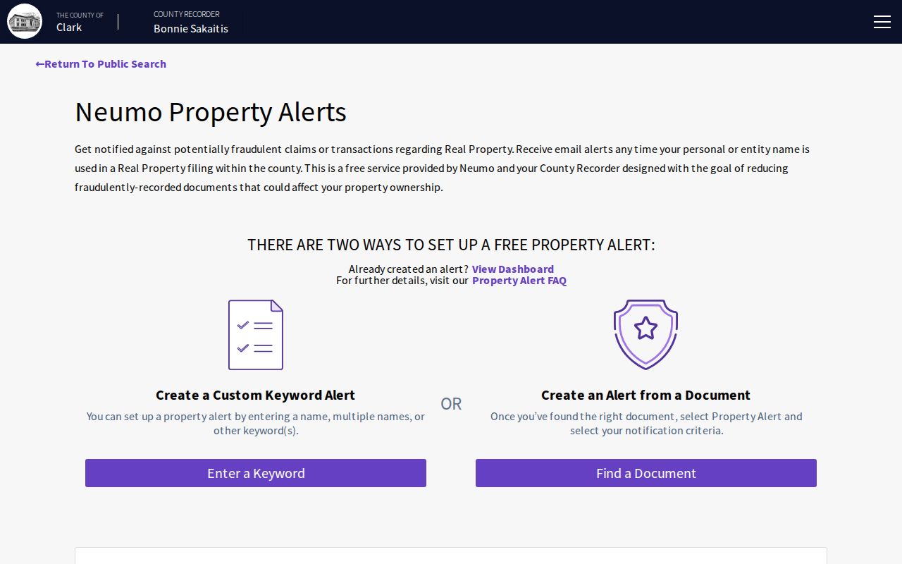
Recorded-property tools can help track document context, but they do not convert parcel ownership into a list of block occupants.
Springfield Neighbor Voter Rules
Ohio My Voter Information does not begin with a block, address, or street list. Its initial search needs First Name, Last Name, and County, with Clark selected for local work. A Street Name control may appear only after initial results. This makes the portal a way to confirm public registration information for a named person, not a way to discover all Springfield neighbors near an address.
Under R.C. 3503.13, voter registration forms and the statewide registration database are public records with specific exclusions. Protected data includes Social Security and driver or state identification information, phone numbers, email addresses, Safe at Home records, protected public-service-worker addresses after a qualifying request, and other information protected by law. R.C. 3503.26 allows precinct lists to be inspected or copied through the Board at reasonable cost, subject to the election-administration timing rule and required redactions.
Ohio's voter-record statute supplies the rule behind the public and confidential parts of a local voter record.
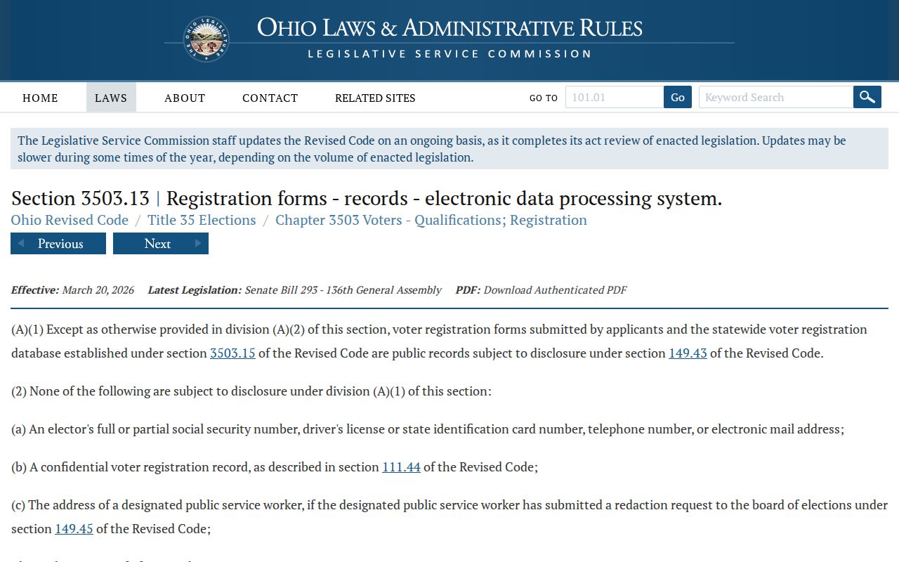
The statutory source supports a named-person check with exclusions, not a block-first directory or a way around protected addresses.
Springfield Neighbor Contact Routes
Community groups can be useful when the goal is to contact a neighborhood organization, learn about a historic district, or ask where association information is kept. They are opt-in civic channels, not evidence that a person lives at a given Springfield address. The City's community resource list names the Springfield Council of Neighborhood Associations, South Fountain Preservation, the Historical Society, library resources, and other local organizations.
| Community route | Documented contact purpose |
|---|---|
| Neighborhood Services | Current city contact for neighborhood-association information, 76 E. High St., second floor; 937-324-7380 or 937-324-7689. |
| Springfield Council of Neighborhood Associations | City-listed civic contact avenue; no public member or resident roster was located. |
| South Fountain Preservation | Historic-district map, meeting, membership, and volunteer information, not a private roster. |
The City of Springfield community-resources page is the source for these public organization paths.
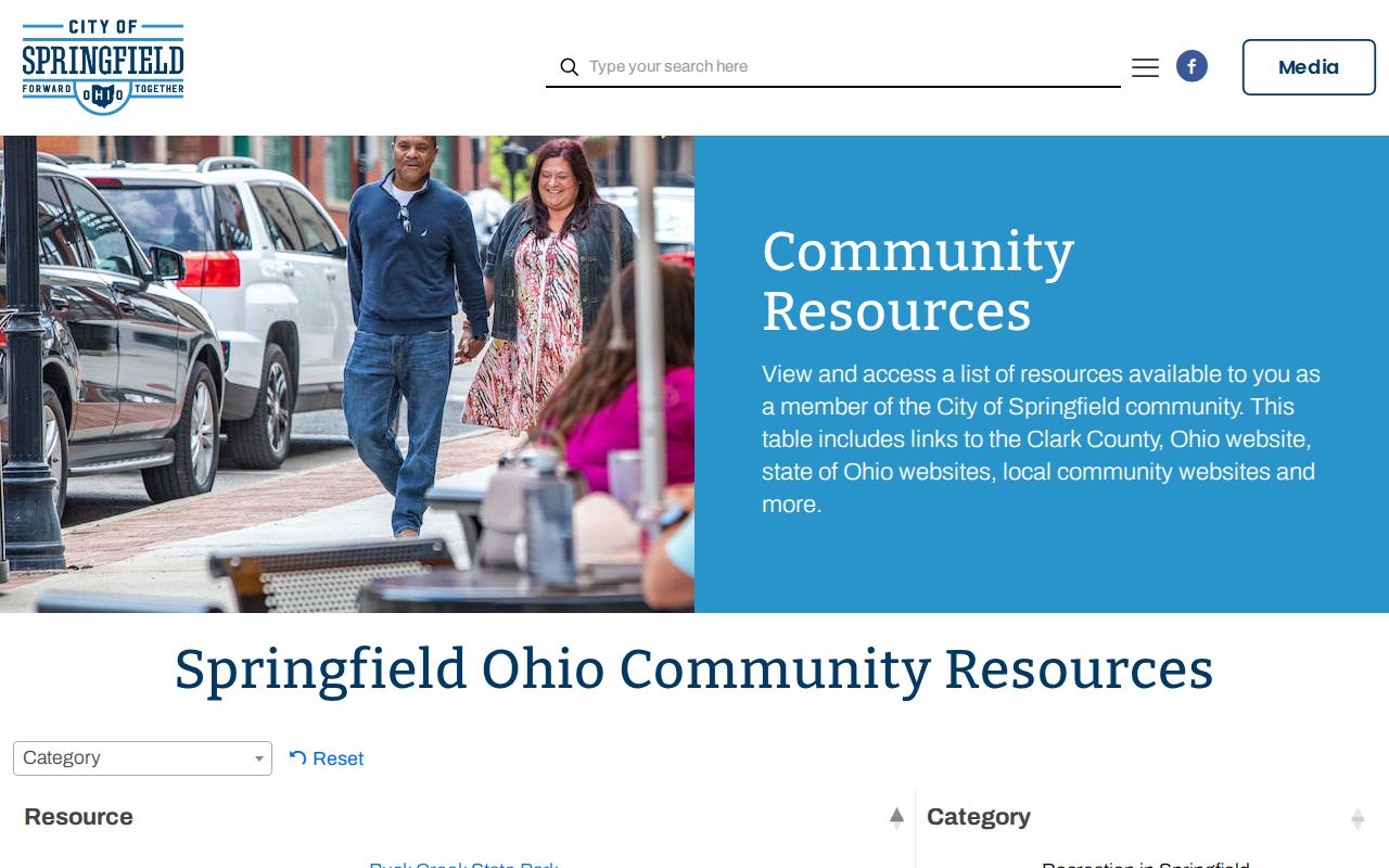
The city list helps a reader reach organizations, while membership and residence remain private unless an organization chooses to publish its own public contact information.
Historic Springfield Neighbor Listings
Historic directories can supply a dated address-to-householder lead for a block. Clark County Public Library lists Dickman Criss-Cross volumes for selected 1961 through 1971 years and from 1976 forward, while broader Springfield directory holdings reach back to 1852 at Heritage Center. A criss-cross volume starts from an address and returns the listed name for that edition. It should be read as a snapshot, not as a statement about current Springfield neighbors.
The directory shelf has gaps. CCPL identifies missing Springfield directory issues for 1895, 1897, 1934, and 1951. Historic street labels can also differ from their modern names. Heritage Center's street-name-change collection and Tax Map's road records, plats, surveys, and old maps help test whether a historical address matches a present parcel. Compare cross streets, map dates, and legal descriptions before drawing a link across time.
Clark County Public Library's local-history holdings include city and rural directories, criss-cross books, telephone books, deed and mortgage microfilm, marriage, probate, naturalization, cemetery, census, and newspaper sources. The library can perform core indexed lookups when given a person and date, though it does not undertake in-depth genealogy.
Springfield Neighbor Sources Compared
Official records and commercial neighbor compilations are not interchangeable. The Auditor, Recorder, Tax Map office, Board of Elections, and library identify a custodian, a record type, and often a source date. That lets a reader ask the office what a field means, whether a copy exists, or how a correction works. A commercial compilation can combine many kinds of material, but may be stale, incomplete, or unclear about its source date.
| Official block source | Commercial neighbor category |
|---|---|
| Names a public custodian and a defined record, such as a parcel card or recorded instrument. | May combine data from different periods and sources without a clear local record trail. |
| Allows a reader to inspect the source or seek clarification from the office that holds it. | May not show the underlying document, its date, or the meaning of a field. |
| Preserves legal redactions and confidentiality programs. | Can still be incomplete and does not create an entitlement to private household information. |
For a parcel question, use a defined official source first. For a community question, contact the organization itself. Neither approach proves a complete list of people around a Springfield address.
Springfield Custody Search Boundaries
The Clark County Sheriff's Jail page links a current-inmates route, but it is not a neighbor directory or a historical conviction record. The research did not expose its form fields, result labels, charge, bond, release, history, or pagination. A current-custody screen cannot establish where a person lives now, and it should never be used to make claims about households near a Springfield address.
The Clark County Jail page is the official starting point for its current-custody information and records contact route.
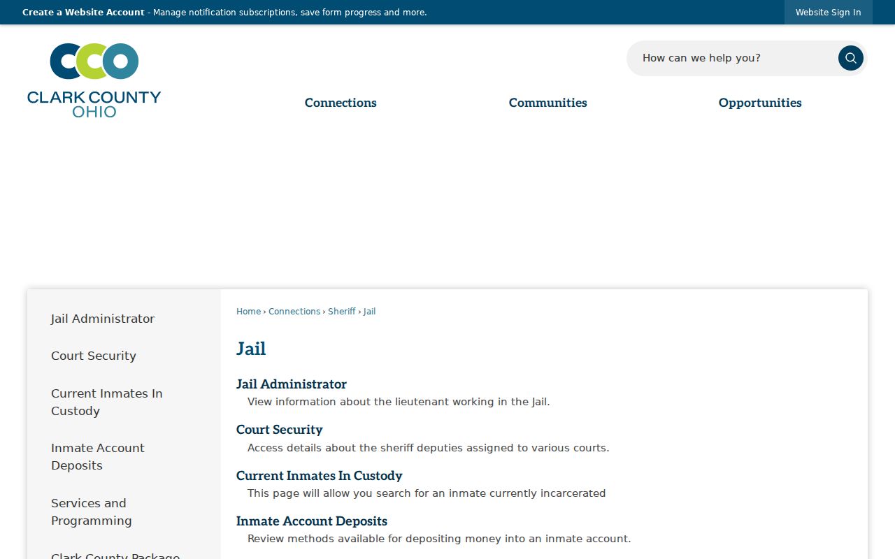
Use custody information only in its proper public-safety context, never as a shortcut for identifying or locating Springfield neighbors.
Protected Springfield Neighbor Data
Ohio Safe at Home is the main official address-confidentiality program for eligible people who fear for safety from specified violence, stalking, or trafficking. Participants' residential addresses do not appear in public voter lists, pollbooks, or signature lists. A participant who acquires property may provide a confidentiality notice to the Recorder. A no-result or missing address can therefore be a lawful privacy outcome, not evidence that a person is absent from Springfield.
Other public-record limits matter too. Ohio's redaction law covers specified online identifiers, but it is not a universal address-removal system. Motor-vehicle personal information is not a general address-search fallback. Utility accounts, delivery information, renters, household composition, and protected addresses remain outside the documented block trail. Use the Ohio Public Records Act for a focused request, while respecting redactions and court-specific access rules.
Note: A property owner, tax mailing address, or dated directory listing is a narrow record fact, not proof of current household membership.
Lawful Springfield Neighbor Use
Neighbor research is most useful for understanding a parcel, tracing an old block, contacting a public civic organization, or checking a recorded property question. Keep it within those boundaries. Do not try to fill gaps with private data, protected records, or guesses about who lives at an address. When a document needs confirmation, return to the Auditor, Recorder, Tax Map office, Board of Elections, court, library, or archive that created or keeps it.
Lawful use. Use Springfield neighbor records for personal, lawful research and community or property questions. Do not use public information to stalk, harass, intimidate, or harm another person.