
Walking a Springfield Street by Address
Start an address search with one complete street address, not with a broad surname. The Clark County Auditor Property Search accepts an address, parcel number, or owner and supplies the parcel framework for the next step. Preserve the parcel number and legal description. They are more durable than a display address when a subdivision, plat, or street label has changed. A result is an ownership or property lead, not a current household list.
- Enter the house number, direction, street name, and street type in the Auditor address search. Record the parcel number and the legal description before leaving the result.
- Review the parcel's situs, or physical, address separately from any tax-mailing field. A mailing field only identifies where tax correspondence goes.
- Use the owner or other party name with the Clark County Recorder advanced search, then narrow by date, document type, book, volume, page, or legal-description words.
- Compare the instrument to the parcel facts. The prior grantor can provide the next ownership lead, but names alone can match unrelated people.
- For a dated address question, check a criss-cross directory or map collection after the parcel and deed work. Those sources are historical evidence for a particular edition, not proof of a present occupant.
The address trail is strongest when each link agrees with the next: address, parcel, legal description, recorded instrument, and a dated map or directory. If the public result stops, the Recorder, Tax Map staff, library, and archive are the documented fallback channels.
Springfield Auditor Fields by Address
The Auditor's advanced search is the practical street-by-street starting point for Springfield. It does not offer a verified whole-street resident list or a ZIP filter. Its address components help isolate one parcel, while City/Township, neighborhood, subdivision, and legal-description criteria can narrow a property question. Use the location dropdowns only after confirming that their loaded options match the intended part of Clark County.
| Auditor field | Use in a street search | Format or boundary |
|---|---|---|
| Search by Parcel, Owner or Address | Runs a single broad property query. | One search term; not a household search. |
| House #, Direction, Street Name, Street Type | Builds the address query. | Direction and street type expect abbreviations. |
| Owner Name or Parcel Number | Returns to a known parcel or owner lead. | Owner format is shown as Last First. |
| City/Township, Neighborhoods, Subdivisions | Narrows the property location. | Dynamic dropdown options were not captured. |
| Legal Description and sales fields | Connects a parcel to a recorded transfer. | Use with date, buyer, seller, or price criteria as needed. |
| Year Built, area, bedrooms, baths, style | Distinguishes similar parcels. | Physical characteristics, not resident details. |
The public parcel-card pattern includes Location, Valuation, Legal, Owners, Residential, Permits, Sales, Land, Tax, and Map sections. It can show a situs or postal address, owner information, a separately labeled tax-mailing name and address, sales, and deed or conveyance references. Confirm the detail labels on the live parcel card before quoting a label in a request.
Note: The Auditor supports address and owner searches, but its public form does not establish who currently occupies every address on a Springfield street.
Springfield Address Record Trail
Different custodians keep the records that connect a Springfield address to land history. The Auditor identifies the parcel. The Recorder indexes instruments. Tax Map staff help translate a street address into lots, plats, and surveys. City material can add a dated permit or zoning application lead. Historical directories add a listed householder only for the edition being consulted.
| Address record | Custodian | Useful result | Access and limit |
|---|---|---|---|
| Parcel and tax record | Clark County Auditor | Parcel, owner lead, sales, legal, district, and physical criteria. | Online property search; verify fields on the detail page. |
| Deed, mortgage, lien, or plat | Clark County Recorder | Parties, dates, document or book-page context, and legal description. | Online advanced index; first online year and image fees were not verified. |
| Tax maps and surveys | Tax Map Department | Parcel geography, plats, old roads, and map continuity. | Counter and staff route at 31 N. Limestone; archived tax maps span 1880 to 2002. |
| Permit or zoning application | City Community Development | Dated regulated work or an application tied to a site. | Cityworks and department request; no public historic-results fields verified. |
| Historic address directory | Library and Heritage Center | Listed householder at a known address in selected editions. | Coverage and reverse indexing vary by volume. |
A parcel number is a useful bridge, but it does not turn a deed index into a street roster. A recorded deed identifies parties to an instrument. It does not establish that a party or tax-mail recipient lived at the situs address.
Recorder Paths Along a Springfield Street
After the Auditor yields a parcel and likely owner, the Recorder's party and document fields build the instrument trail. Enter party names in the visible LASTNAME FIRSTNAME format, choose Grantor or Grantee when the role is known, and use recorded or executed dates to reduce same-name results. Document type, document-number range, Book, Volume, Page, and Full Document Text are secondary ways to connect an index citation to the right instrument.
The Clark County Recorder Official Record Search distinguishes index-only searching from full-text OCR. With several words, index-only scope searches words individually, while OCR scope treats them as a phrase. At the research inspection, the portal showed a real-property index certified through 08/25/2026. A street address may not be indexed at all, so do not search the street name and assume every parcel will appear.
A captured view of the Clark County Tax Map Department is useful context for the offline bridge between a current address and recorded geography.
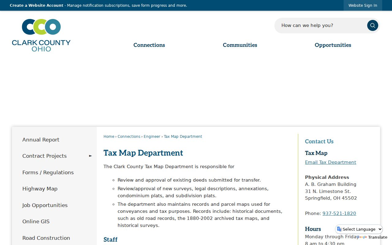
Tax Map staff maintain plats, surveys, old road records, and archived tax maps, so this route is appropriate when a document's legal description needs local map interpretation.
Springfield Tax Maps and Former Streets
Tax Map is Springfield's most important offline address-continuity channel. It maintains parcel maps used for conveyances and taxes, historical surveys, old road records, and archived tax maps from 1880 through 2002. Staff review deed transfers, surveys, legal descriptions, annexations, condominium plats, and subdivision plats. The office is in the A.B. Graham Building at 31 N. Limestone Street and can be reached at 937-521-1820.
Historic address work also needs a street-name check. Heritage Center holds Springfield and Clark County street-name-change material, including a compilation prepared in 1961. It records former-name references such as Yellow Springs Street and Plum, and earlier names associated with Columbia Street. Compare former and current street names with cross streets and dated maps. Then ask Tax Map staff or Heritage Center for plat, road, or change evidence rather than guessing at a replacement number.
The City Planning and Zoning resources link to a searchable zoning map for Springfield address orientation.
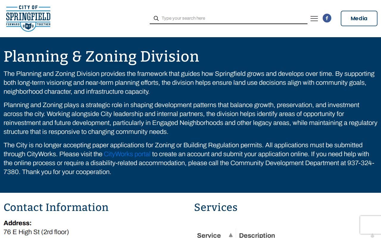
The zoning map helps place an address in map context, while Tax Map records, recorded plats, and surveys remain the proper sources for a legal boundary question.
Springfield Zoning Map Address Context
The city-directed Springfield zoning map is useful for locating an address and understanding zoning context before a records request. The researched public page documents address search and zoning use. It did not verify parcel-adjacency, buffer, measure, owner-link, export, or other live-viewer controls. Treat the map as a way to orient a street investigation, not as a promise of a one-click list of neighboring parcels or occupants.
For a parcel boundary, plat, road record, or survey question, use the Tax Map Department and recorded materials. The county GIS office is listed at 937-521-1885. March 2026 county material also notes that parcel lines are approximate while GIS data is being updated. A street directory search stays more reliable when the map's visual context is compared with the Auditor parcel number and the Recorder's legal description.
Cityworks Evidence at a Springfield Address
Building and zoning records can date work at a Springfield property. The City identifies Cityworks as the platform for building-permit and zoning applications. Its public documentation supports the application role, not a verified public historical address-search screen. The research did not expose individual fields, result types, coverage years, exports, or a public permit-history function.
The Cityworks gateway shown below is an application route. For a completed or older permit file, contact Building Regulations at 937-324-7389 or Community Development at 937-324-7380 and state the address, date range, work type, or permit number. A focused City public-record request is the fallback for a defined municipal record that is not returned online.
The Springfield Cityworks portal documents the current application channel.
Permit evidence can establish that regulated work was proposed or approved. It does not prove who lived at the property or that work was completed.
The City's building-permit information describes the address-related permit context.
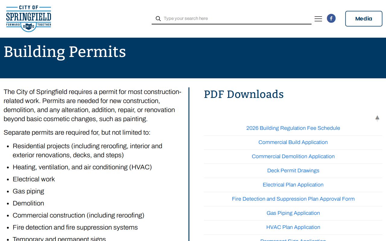
When historic records are off-platform, ask the department which files remain available and whether an address-limited request can be searched.
Historic Springfield Address Leads
A criss-cross directory reverses the usual name-to-address arrangement. It can start with an address and report the listed householder for that particular publication. Clark County Public Library identifies Springfield directories for 1852, 1859-60, 1863-64, 1868-69, and 1874 forward, with missing issues in 1895, 1897, 1934, and 1951. It also lists Dickman Criss-Cross volumes for selected years from 1961 through 1971 and from 1976 forward, plus telephone books from 1922.
Those dates are collection facts, not proof that every address or every edition has a reverse listing. Check a specific volume, capture its publication year, and compare the listed name to the parcel and deed timing. The larger historical shelf is available through the Clark County Public Library microfilm collection and the Heritage Center. For a deeper historical name trail, use the Springfield Directory Book after the address has been narrowed.
- Parcel
- A numbered unit of land used by the county for assessment and mapping.
- Situs address
- The physical address of land or a structure, distinct from a mailing address for tax correspondence.
- Plat
- A recorded map that lays out lots, streets, or subdivisions.
- Criss-cross directory
- A directory arranged so a street address can lead to a listed name for that edition.
Springfield Voter Checks Need a Name
Ohio's My Voter Information portal is an individual confirmation tool, not a street-first browser. It requires first name, last name, and county, with Clark selected for Springfield. A Street Name control may appear only after an initial individual search. The Auditor also has no verified ZIP field, so neither service supports a claimed ZIP-wide or whole-street resident search.
Under R.C. 3503.13, voter-registration materials are public records with redactions that include contact information and confidential Safe at Home data. R.C. 3503.26 provides an inspection and copy route through the Board of Elections, subject to lawful redactions and an election-period copying limit. A focused request should identify Clark County, the time period, format, and whether inspection or copies are sought. The Board is at 3130 E. National Road, Springfield, OH 45503, phone 937-521-2120.
Note: A missing voter-search result can reflect name variation, former address information, or statutory confidentiality, and does not prove that someone is absent from Springfield.
Springfield Address Privacy Boundaries
A Springfield address search can connect public parcel, instrument, map, and historical-directory evidence. It cannot reveal every renter, household member, utility subscriber, motor-vehicle address, juvenile record, sealed court record, or protected voter. The public records reviewed also do not provide a public whole-street occupant list. Keep ownership, mailing, and historical listing evidence separate from a claim about current residence.
The Ohio Public Records Act, R.C. 149.43, opens many government records while preserving exemptions and redactions. A narrow request to the office that holds the record is more reliable than trying to force an address tool to reveal protected information.